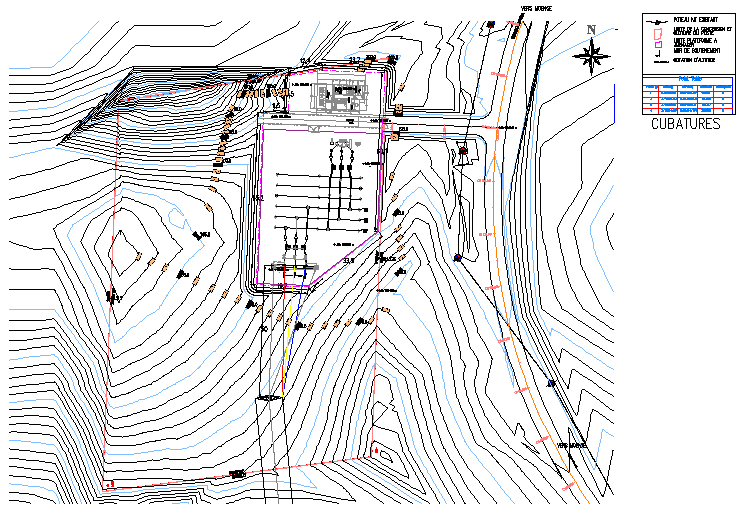
Topographic Contour Site Plan CAD Layout with Elevation Measurements
Tags
Ratings & Reviews
Be the first to share your experience with this product. Your review helps others make better decisions!
Description
This AutoCAD drawing presents a detailed topographic contour site plan illustrating the natural shape and slope of the land surface using contour lines. The drawing shows terrain elevation patterns where closely spaced contour lines represent steep slopes and widely spaced lines represent gentle land gradients. The layout also includes site boundary markings, access routes, and infrastructure positioning integrated within the topographic surface. Architects, civil engineers, and site planners can use this drawing to understand landform variations, slope conditions, and terrain levels required for site development planning. Clear annotations explain contour alignment, elevation levels, and terrain configuration used for accurate topographic analysis.
Uploaded by:
viddhi chajjed
Tags
Ratings & Reviews
Be the first to share your experience with this product. Your review helps others make better decisions!