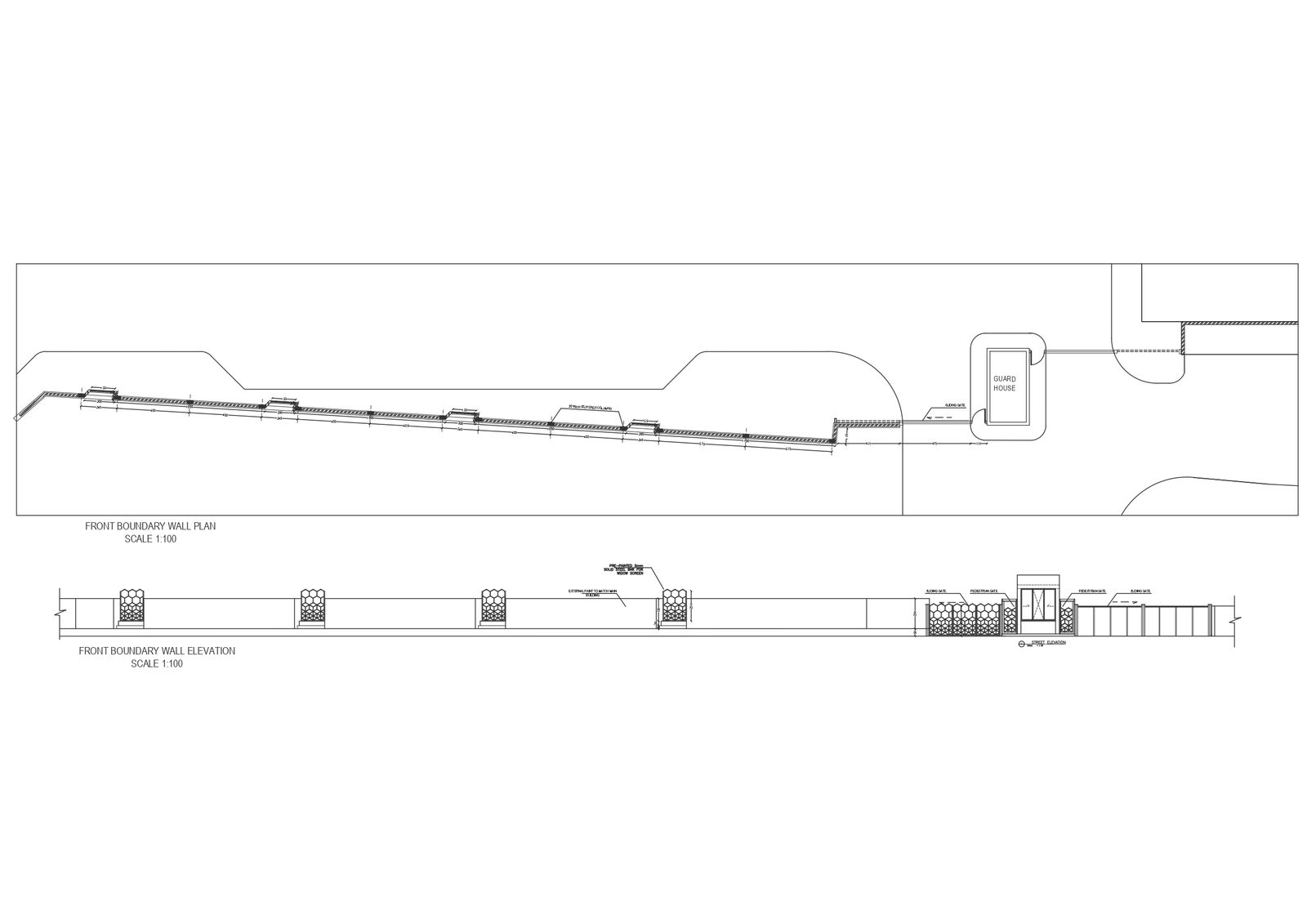
Street elevation and plan details dwg autocad drawing .

Ratings & Reviews
Be the first to share your experience with this product. Your review helps others make better decisions!
Description
Our AutoCAD drawing offers a comprehensive view of street elevation and plan details, providing architects and urban planners with essential insights into street design. With detailed elevation and plan views, including boundary details and guard house placements, this DWG file is invaluable for anyone involved in urban development projects.Featuring precise measurements and annotations, our drawing ensures accurate representation of street elements, from sidewalks to roadways. Keywords like "street elevation," "street plan," and "boundary details" facilitate easy access to relevant information for professionals seeking to optimize street layouts and enhance urban landscapes.Download our DWG file to streamline your street design process and create vibrant, functional urban environments. With our comprehensive drawing, you can visualize and implement street enhancements that prioritize safety, accessibility, and aesthetic appeal.
Tags
Uploaded by:
Liam
White
Ratings & Reviews
Be the first to share your experience with this product. Your review helps others make better decisions!