Maceio Urban Rural Base Map Layout Scale 1 18000 Planning Map

Ratings & Reviews
Be the first to share your experience with this product. Your review helps others make better decisions!
Description
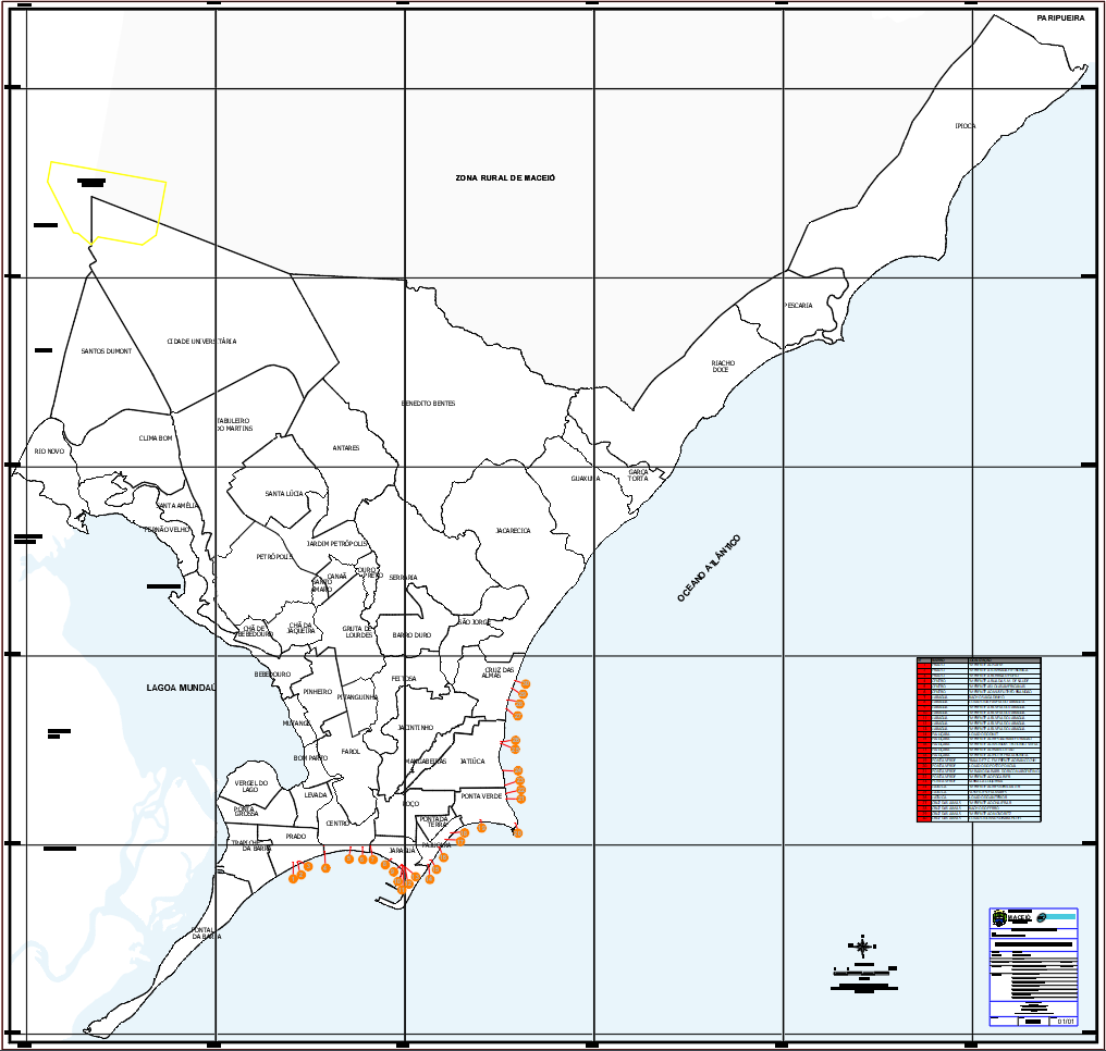
This AutoCAD DWG file presents a comprehensive base map drawing of the Maceio urban and rural area, prepared at a precise scale of 1 18000. The drawing clearly defines municipal boundaries, district divisions, coastal edges, and inland rural zones with accurate linework and coordinate grid references. Urban neighborhoods and surrounding rural regions are carefully demarcated to support zoning identification and spatial planning. The map layout includes coastline representation, lagoon areas, and administrative limits, allowing professionals to understand land distribution and regional connectivity directly from the drawing.
The base map is developed using UTM projection with Datum SAD 69, ensuring compatibility with professional surveying and planning standards. Grid lines, orientation markers, and cartographic annotations are included to support measurement accuracy and reference alignment. The drawing also integrates a clear legend, scale reference, and title block for documentation use. This editable AutoCAD DWG file is suitable for architects, civil engineers, planners, and technical consultants involved in urban planning, infrastructure layout, environmental assessment, and regional development studies requiring reliable geographic base drawings with verified scale and coordinate control.
Tags
Uploaded by:
Liam
White
Ratings & Reviews
Be the first to share your experience with this product. Your review helps others make better decisions!