Highway Interchange Road Alignment AutoCAD DWG files Design Plan

Ratings & Reviews
Be the first to share your experience with this product. Your review helps others make better decisions!
Description
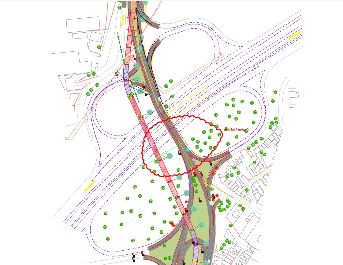
A professional Highway Interchange Road Alignment AutoCAD DWG Design Plan created for transportation and infrastructure development projects. This detailed DWG drawing includes multilane roadway alignment layouts, interchange connection details, curved road geometry, traffic movement planning, interference marking zones, and infrastructure coordination layouts. The drawing covers highway junction planning, turning radius layouts, bridge and roadway connectivity, utility coordination areas, road edge markings, and surrounding site references with technical annotations. This AutoCAD DWG file is ideal for civil engineers, highway planners, architects, infrastructure consultants, builders, and CAD professionals involved in roadway development and transportation projects. The layout supports road construction documentation, traffic circulation studies, interchange planning, and infrastructure coordination using AutoCAD, Revit, 3d Max, and Google SketchUp software workflows.
Tags
Uploaded by:
Niraj
yadav
Ratings & Reviews
Be the first to share your experience with this product. Your review helps others make better decisions!