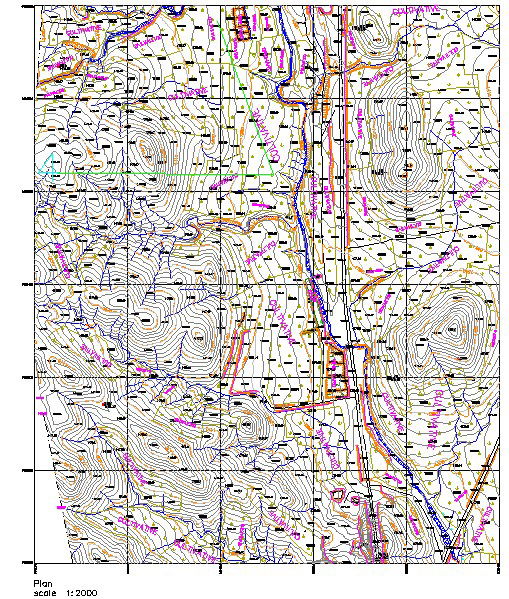
Topographic Site Plan with Elevation Contours and Road Layout
Tags
Ratings & Reviews
Be the first to share your experience with this product. Your review helps others make better decisions!
Description
This AutoCAD DWG file provides a detailed topographic site plan scaled at 1:2000, showcasing the land's elevation contours, roads, and infrastructure. The drawing includes precise contour lines to represent terrain elevation changes and features key infrastructure elements such as roadways, utilities, and building layouts. This detailed site plan is essential for architects, civil engineers, and urban planners working on large-scale projects. It helps ensure accurate planning and development for site grading, landscaping, and road infrastructure, making it an indispensable tool for site analysis and planning.

Uploaded by:
Fernando Zapata
Tags
Ratings & Reviews
Be the first to share your experience with this product. Your review helps others make better decisions!