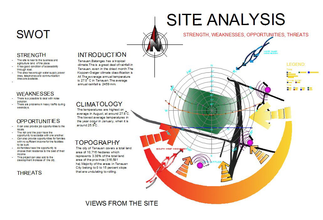
Site Analysis CAD Drawing with SWOT and Climate Study Layout
Tags
Ratings & Reviews
Be the first to share your experience with this product. Your review helps others make better decisions!
Description
This Site Analysis CAD Drawing with SWOT and Climate Study Layout presents a detailed architectural site evaluation for Tanauan, Batangas. The drawing includes climatic data, wind direction diagrams, solar path analysis, and SWOT assessment covering strengths, weaknesses, opportunities, and threats. It highlights tropical climate classification Af under Koppen Geiger system, with an average annual temperature of 27.0 C and annual rainfall of 2459 mm. The layout also indicates the highest temperature in August at 27.8 C and the lowest in January at 25.9 C. The graphical representation includes directional wind flow, topography considerations, accessibility routes, and surrounding land use patterns.




Uploaded by:
Ryan Lapating
Tags
Ratings & Reviews
Be the first to share your experience with this product. Your review helps others make better decisions!