Detailed Town Planning CAD Drawing with Layout and Rendered Views
Tags
Ratings & Reviews
Be the first to share your experience with this product. Your review helps others make better decisions!
Description
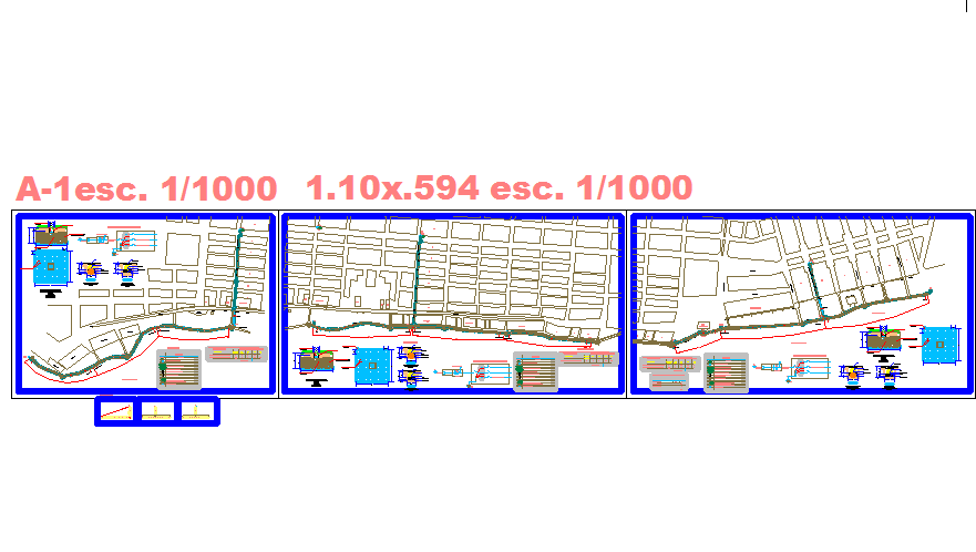
This AutoCAD DWG file provides a comprehensive town planning design, including detailed layout plans and rendered presentation views. The drawing includes road networks, zoning areas, plot divisions, and public spaces, allowing architects, civil engineers, urban designers, and builders to accurately integrate it into AutoCAD, 3D Max, Revit, or Google SketchUp projects.The town planning CAD layout highlights infrastructure planning, street alignments, and spatial organization for residential, commercial, and recreational areas
Uploaded by:
apurva munet
Tags
Ratings & Reviews
Be the first to share your experience with this product. Your review helps others make better decisions!