victoria district lima map cad drawing urban planning layout set
Tags
Ratings & Reviews
Be the first to share your experience with this product. Your review helps others make better decisions!
Description
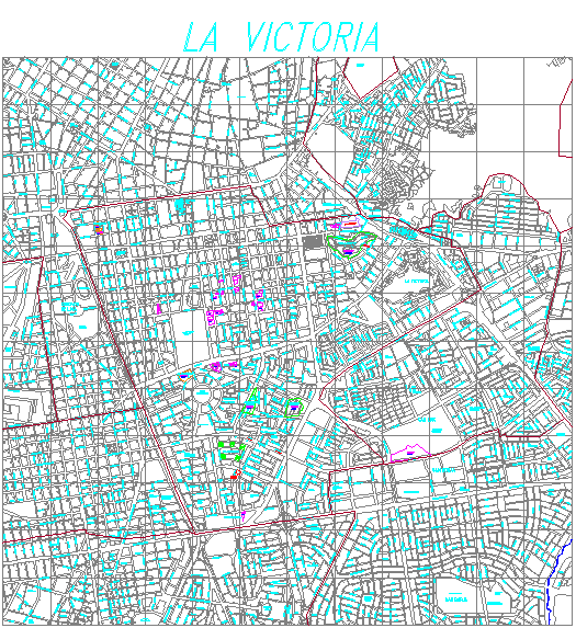
This Victoria District Lima map cad drawing urban planning layout set presents a detailed 2D map of the La Victoria district in Lima with precise street networks, plot divisions, and urban infrastructure layout. The drawing includes road hierarchies, intersections, block patterns, and zoning representation, making it suitable for architectural and town planning projects. The map is drafted with clear line work and organized layers, allowing professionals to analyze spatial distribution and urban structure effectively for design and planning purposes.
Uploaded by:
manveen kaur
Tags
Ratings & Reviews
Be the first to share your experience with this product. Your review helps others make better decisions!