Mexico City Urban Town Planning Layout with Land Use Zoning Detail
Tags
Ratings & Reviews
Be the first to share your experience with this product. Your review helps others make better decisions!
Description
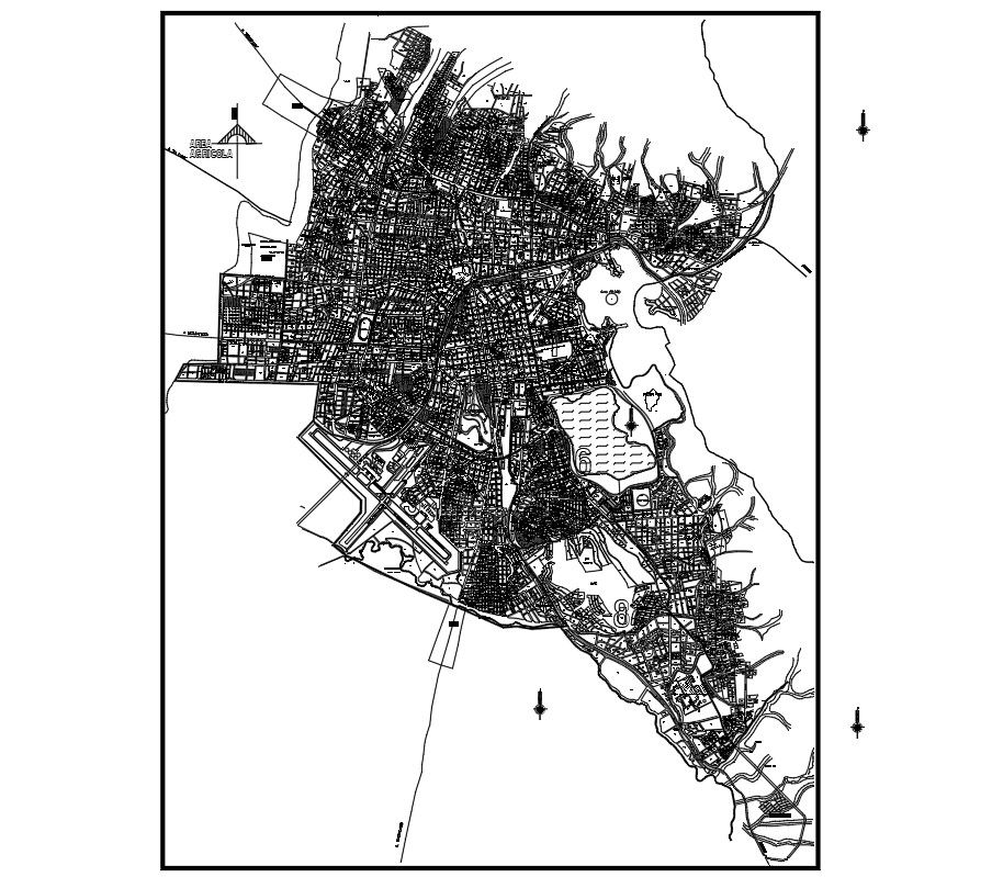
Mexico City Urban Town Planning Layout presents a comprehensive city planning design illustrating detailed land use zoning, structured road hierarchy, and organized sector divisions. The drawing defines residential neighborhoods, commercial corridors, institutional zones, public facilities, and open recreational areas distributed across the urban boundary. Primary arterial roads, secondary streets, and internal grid networks are clearly mapped to establish efficient circulation and connectivity between districts. Major junctions, block segmentation, and neighborhood clusters are systematically arranged to reflect planned urban growth and functional land allocation within the Mexico City framework.
Uploaded by:
Priyanka Patel
Tags
Ratings & Reviews
Be the first to share your experience with this product. Your review helps others make better decisions!