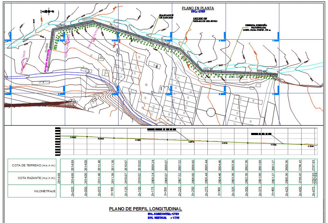
Longitudinal Road Profile Plan with Elevation and Chainage Detail
Tags
Ratings & Reviews
Be the first to share your experience with this product. Your review helps others make better decisions!
Description
This Longitudinal Plan AutoCAD drawing presents a detailed road alignment profile with horizontal scale 1:750 and vertical scale 1:75. The drawing includes plan view alignment, contour lines, terrain levels, plotted structures, drainage paths, and marked reference grid lines. Chainage points are clearly indicated along the centerline with kilometer markings and elevation references. The profile table shows Cota de Terreno and Cota Razante values in meters above sea level, enabling accurate comparison between existing ground levels and proposed formation levels for road development and grading analysis.




Uploaded by:
Albert stroy
Tags
Ratings & Reviews
Be the first to share your experience with this product. Your review helps others make better decisions!