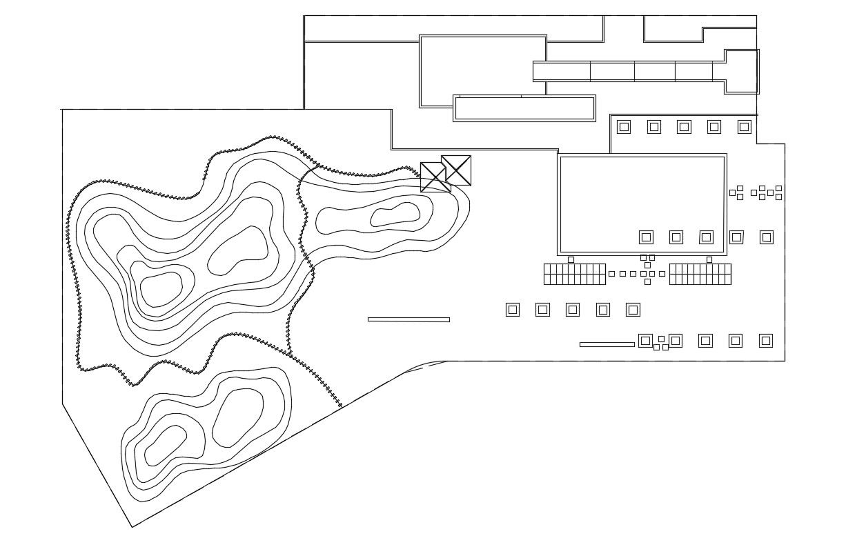
Contour Plan CAD Drawing with Elevation and Topography Details
Tags
#contour plan CAD#urban design DWG#town planning drawing#topography CAD#elevation plan DWG#land contour drawing dwg files#dwg#AutoCADautocad files#dwg download#cad files#cad file download#dwg blocks AutoCADautocad
Ratings & Reviews
⭐
No Reviews Yet
Be the first to share your experience with this product. Your review helps others make better decisions!
★★★★★
Description
This Contour Plan CAD Drawing is a detailed DWG file that provides accurate topography, contour lines, and elevation details for urban design and town planning projects. Ideal for architects, urban planners, and civil engineers, it helps visualize landforms and develop precise planning strategies. The drawing ensures proper assessment of site conditions, facilitates project design, and supports construction planning with scalable CAD blocks and technical accuracy.
Uploaded by:
Komal
Tags
#contour plan CAD#urban design DWG#town planning drawing#topography CAD#elevation plan DWG#land contour drawing dwg files#dwg#AutoCADautocad files#dwg download#cad files#cad file download#dwg blocks AutoCADautocad
Ratings & Reviews
⭐
No Reviews Yet
Be the first to share your experience with this product. Your review helps others make better decisions!
★★★★★