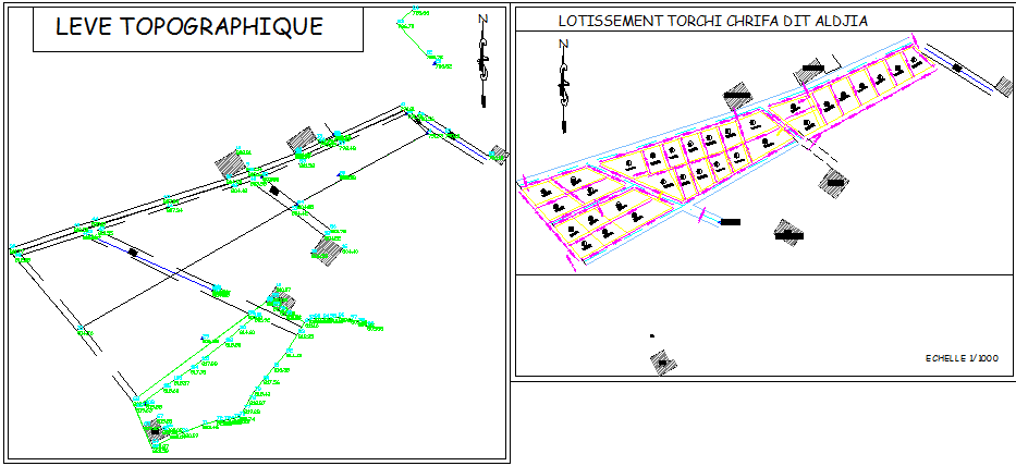
Topographic Layout Plan with Contour Levels and Shop Plot Design
Tags
Ratings & Reviews
Be the first to share your experience with this product. Your review helps others make better decisions!
Description
Topographic layout plan drawing presenting complete contour levels, elevation points, and land profiling with plotted boundary references. The layout includes detailed contour lines showing natural ground variation with marked level values distributed across the site. North direction indicator and grid alignment are clearly defined for survey coordination. Boundary lines and internal division lines are dimensioned to establish site limits and subdivision accuracy. Elevation annotations are distributed throughout the terrain to guide grading and development planning. This topographic layout plan also includes shop plot layout arranged along the internal road alignment with clearly defined plot boundaries and access connectivity. The subdivision plan is presented at scale 1 to 1000 with lot demarcation, internal circulation path, and structural block arrangement. Each shop unit footprint is proportionally drafted within the plotted area for coordinated planning.

Uploaded by:
Neha mishra
Tags
Ratings & Reviews
Be the first to share your experience with this product. Your review helps others make better decisions!