Street planning with detail AutoCAD drawing
Tags
#Street planning with detail AutoCAD drawing#street planning#2D drawing#town planning#AutoCAD drawing#dwg file#dwg drawing
Ratings & Reviews
⭐
No Reviews Yet
Be the first to share your experience with this product. Your review helps others make better decisions!
★★★★★
Description
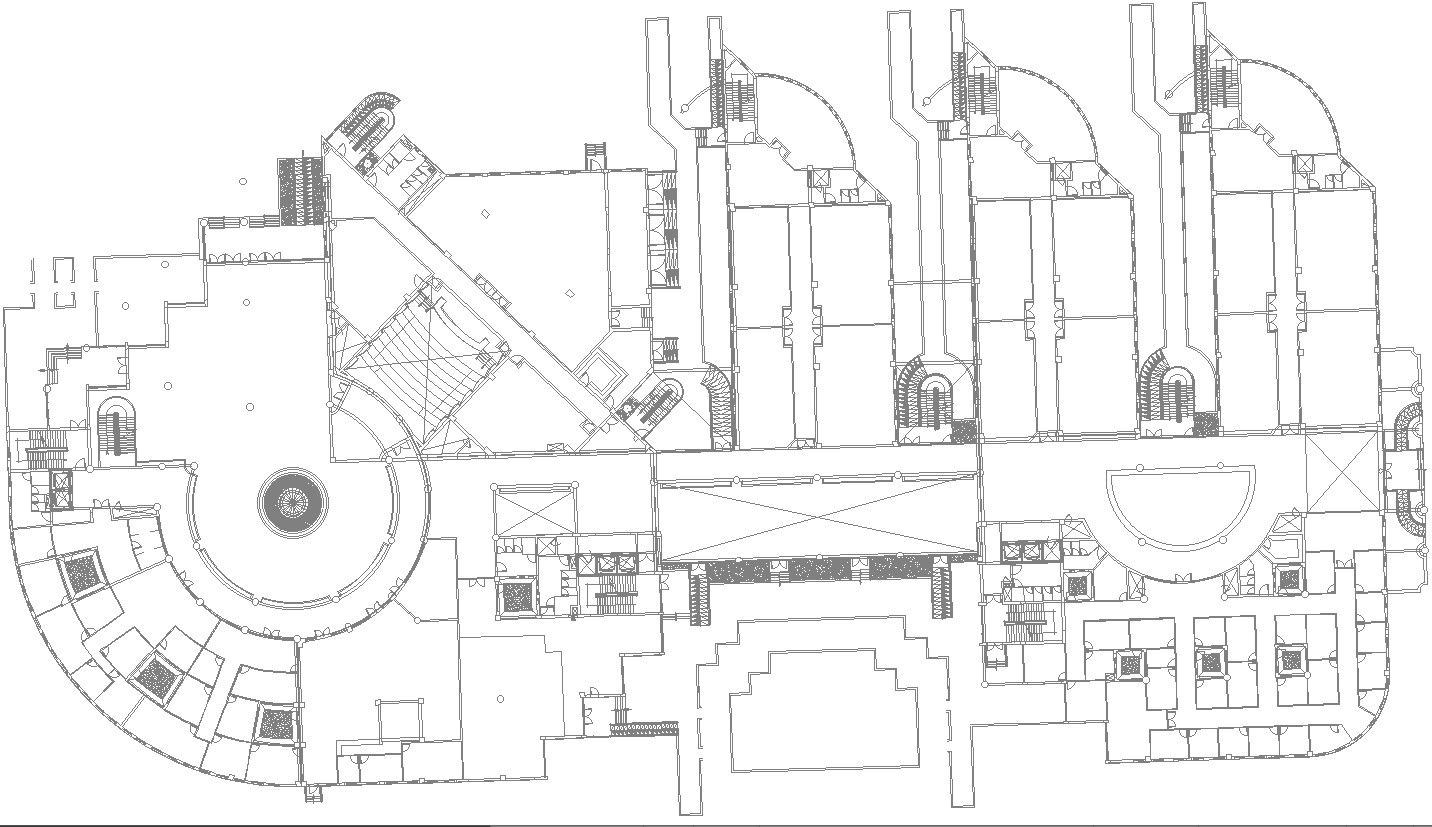
This architectural drawing is Street planning with detail AutoCAD drawing. City street means the public right-of-way owned by the city, including any area across, along, on, over, upon, and within the dedicated public alleys, boulevards, courts, lanes, roads, sidewalks, streets, and ways within the city. For more details and information download the drawing file.
Uploaded by:
viddhi chajjed
Tags
#Street planning with detail AutoCAD drawing#street planning#2D drawing#town planning#AutoCAD drawing#dwg file#dwg drawing
Ratings & Reviews
⭐
No Reviews Yet
Be the first to share your experience with this product. Your review helps others make better decisions!
★★★★★