Modern Health Center Site Plan with Complete Topographic Layout
Description
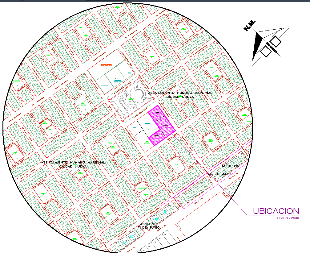
This modern health center DWG file presents a detailed topographic layout designed to support community medical facilities and wellness infrastructure. The drawing includes a complete site location map, surrounding road network, land boundaries, and zoning classifications. Contour lines are carefully drafted to show terrain elevation differences, making the design suitable for planning drainage systems, landscape levels, and building placement. The plan highlights key functional zones such as green areas, sports zones, existing construction footprints, future expansion areas, and pedestrian access routes. The drawing also includes main circulation paths and service entries to ensure efficient site movement for visitors and staff.
The sectional drawings included in the DWG provide an accurate understanding of the site's slope, ground levels, and earthwork requirements essential for construction planning. Measurements for existing area, projected area, and total site area are clearly listed to support municipal approvals and architectural documentation. This topographic health center layout is ideal for architects, civil engineers, urban planners, and healthcare designers working on community-based medical projects. It serves as a valuable reference for developing functional, accessible, and well-coordinated public health facilities with accurate ground profiles and site development data.

Uploaded by:
Liam
White