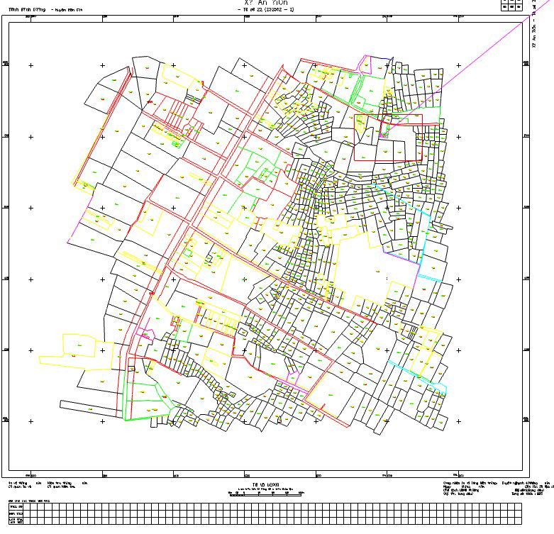
Urban Project Layout Plan with Road Network and Building Zones
Tags
Ratings & Reviews
Be the first to share your experience with this product. Your review helps others make better decisions!
Description
This CAD drawing presents an urban project layout plan illustrating the organization of roads, building plots, open spaces, and circulation areas within a planned development. The drawing highlights the arrangement of infrastructure elements that support urban planning and city development. It shows how residential or commercial blocks connect with internal road networks and surrounding spaces. Such layouts help planners visualize land use distribution, accessibility, and urban structure. The drawing is useful for architects, urban planners, and civil engineers involved in township planning and urban development projects.
Uploaded by:
viddhi chajjed
Tags
Ratings & Reviews
Be the first to share your experience with this product. Your review helps others make better decisions!