City Planning DWG Files with Urban Layouts, Roads, and Zoning Plans
Ratings & Reviews
Be the first to share your experience with this product. Your review helps others make better decisions!
Description
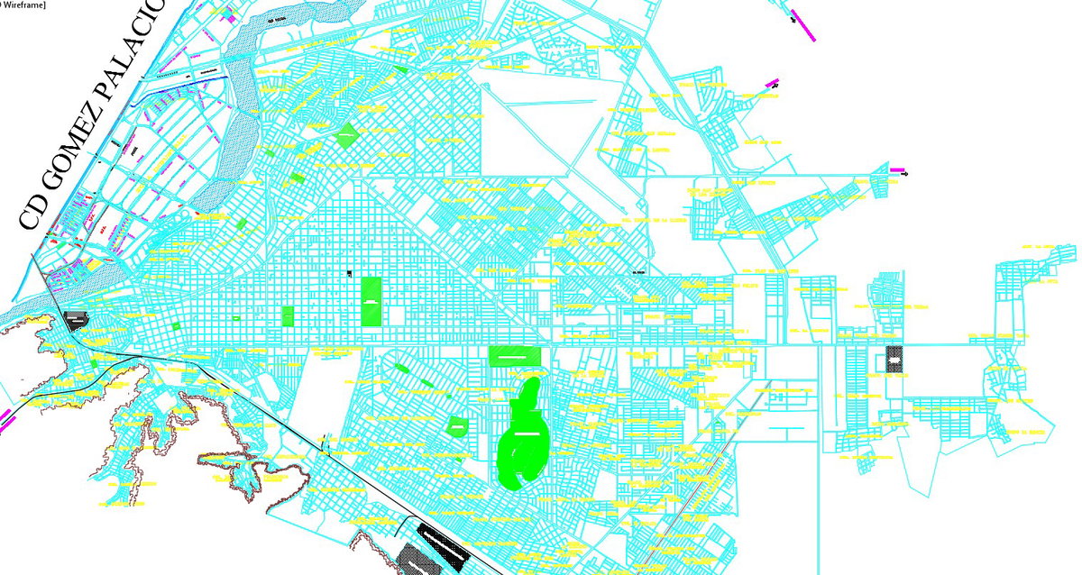
This AutoCAD DWG file provides a comprehensive city planning layout, including detailed urban design, road networks, zoning, building plots, and public spaces. The plan shows the precise placement of streets, intersections, parks, residential and commercial zones, and infrastructure. Dimensions, grid lines, and annotations are included for architects, civil engineers, and urban planners to analyze, visualize, and implement professional city planning projects efficiently. The file also helps in understanding planning principles, urban circulation, and functional site distribution for modern cities.
The DWG includes section and elevation views of critical areas to offer insights into building heights, streetscapes, and spatial organization. Professionals can use this file in AutoCAD, Revit, 3D Max, or Google SketchUp for detailed project visualization and planning. This city planning DWG ensures precise measurements, clear structural guidance, and functional layouts for public, commercial, and residential zones. It is suitable for architects, engineers, and planners seeking a professional, measurable, and practical tool to design modern, organized, and sustainable urban environments.
Tags
Uploaded by:
Osmar
Charco
Ratings & Reviews
Be the first to share your experience with this product. Your review helps others make better decisions!