Street road city map urban design DWG AutoCAD drawing
Description
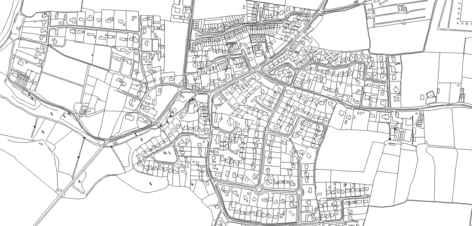
Explore the intricate details of urban planning with this AutoCAD drawing depicting a street road city map design. Delve into a comprehensive view of plot analysis, furniture layout, elevations, sections, and space planning, ideal for architects, city planners, and developers. This drawing offers valuable insights into the integration of various elements within an urban landscape, including detailed floor plans, column details, and section views. It serves as a valuable resource for studying urban design principles and facilitating society development. Immerse yourself in the art of architectural detailing with this comprehensive city map drawing, highlighting the synergy between design and functionality. Whether for urban development, construction planning, or architectural inspiration, this AutoCAD resource provides a holistic view of urban design concepts.
Uploaded by: