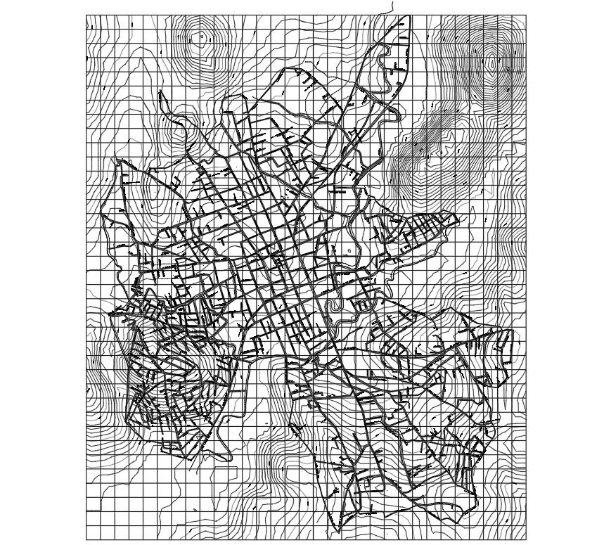
Country Historical Urban Planning Map with Contour and Grid Detail
Tags
Ratings & Reviews
Be the first to share your experience with this product. Your review helps others make better decisions!
Description
The Country Historical Urban Planning Map presents a detailed urban design of the old city integrated with the new city development structure and topographic context. The drawing illustrates contour lines across the entire planning boundary, showing elevation variation and terrain influence on settlement growth. A defined grid overlay supports spatial reference and measurement coordination throughout the plan. Historic core street patterns are visible at the center with compact block formations and interconnected road networks expanding outward toward newly developed sectors. The layout reflects radial and grid circulation systems connecting neighborhoods, administrative areas, and open land parcels within the country's historical planning framework.

Uploaded by:
Priyanka Patel
Tags
Ratings & Reviews
Be the first to share your experience with this product. Your review helps others make better decisions!