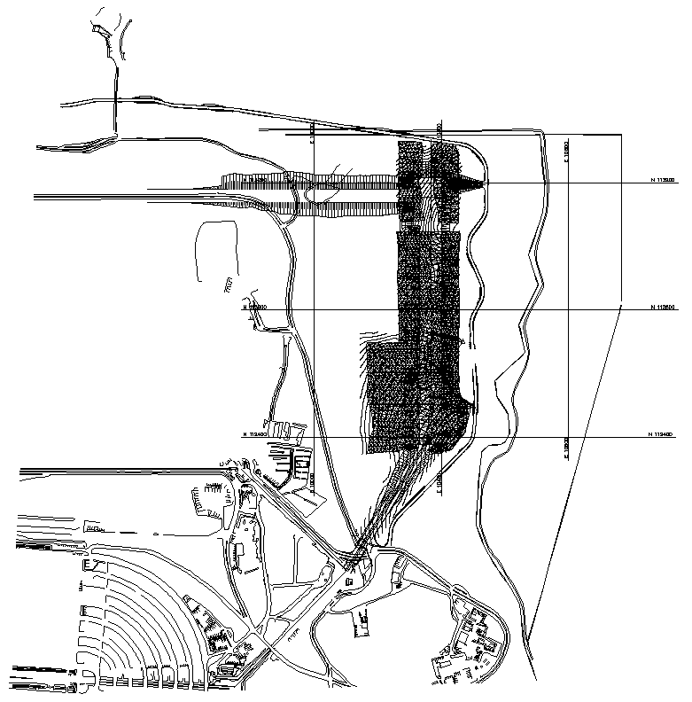
Topograpic survey of constuction site Detail DWG AutoCAD file

Ratings & Reviews
⭐
No Reviews Yet
Be the first to share your experience with this product. Your review helps others make better decisions!
★★★★★
Description
Explore the essential Topographic Survey of Construction Site Detail in this DWG AutoCAD file. This detailed 2D drawing captures the precise contours, elevations, and land features crucial for any construction project. Designed for professionals who need accurate cad drawings, this file ensures you have all the necessary data for site planning and development. The survey detail includes critical measurements and layout specifics, making it an indispensable resource for architects, engineers, and builders. With this DWG file, you can easily integrate the information into your existing AutoCAD files, streamlining your workflow. Enhance your project efficiency and accuracy with this comprehensive topographic survey DWG file, perfect for ensuring your construction site is meticulously planned and executed.
Tags
#Topographic survey DWG#Construction site layout#AutoCAD site survey#Detailed site topography#CAD topographic drawing
Uploaded by:
Eiz
Luna
Ratings & Reviews
⭐
No Reviews Yet
Be the first to share your experience with this product. Your review helps others make better decisions!
★★★★★